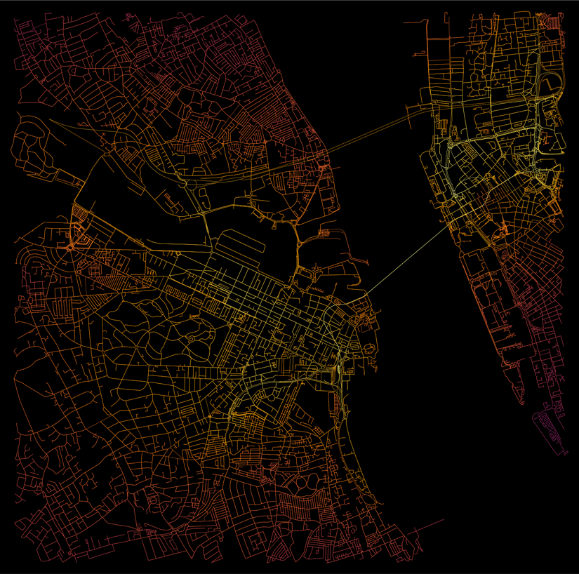
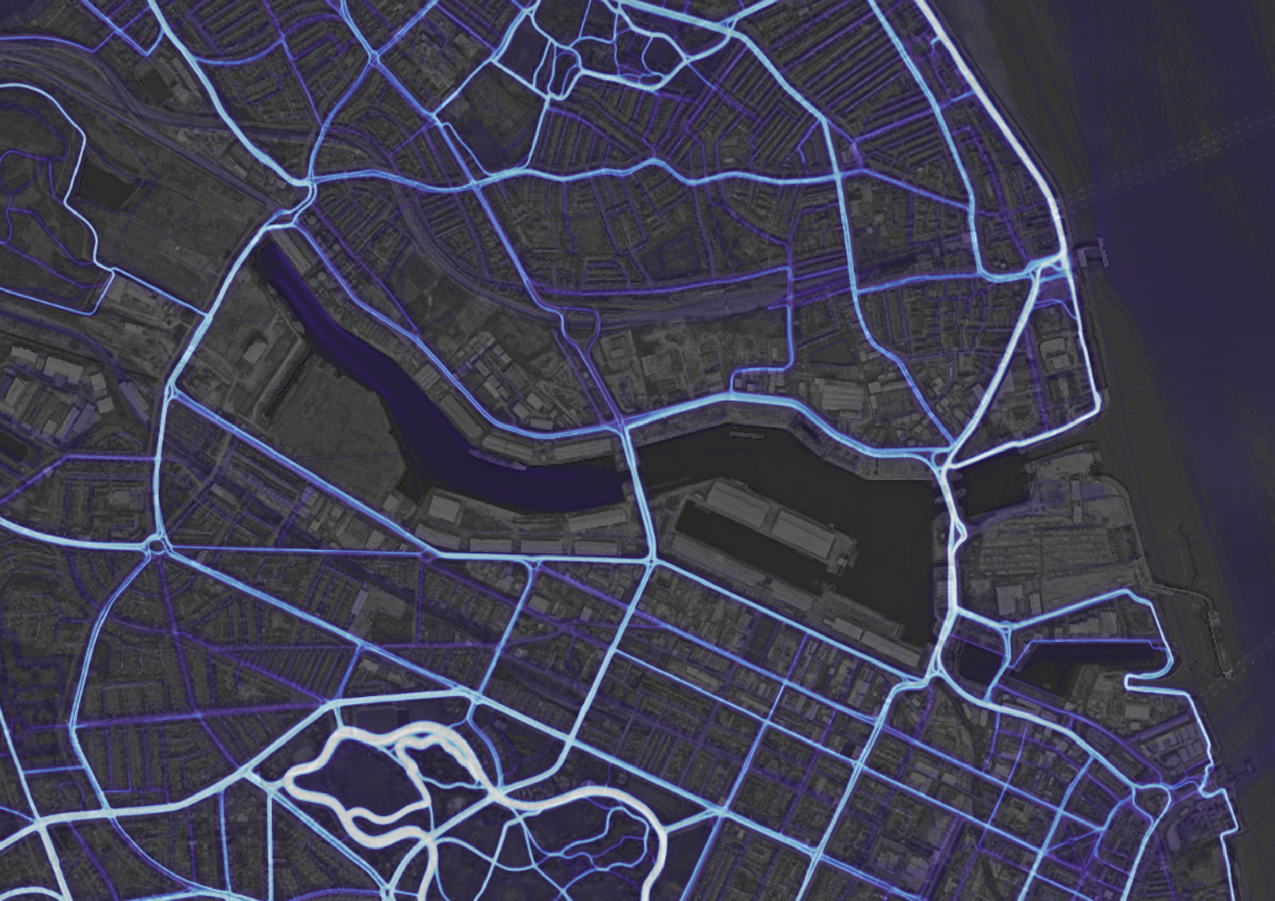
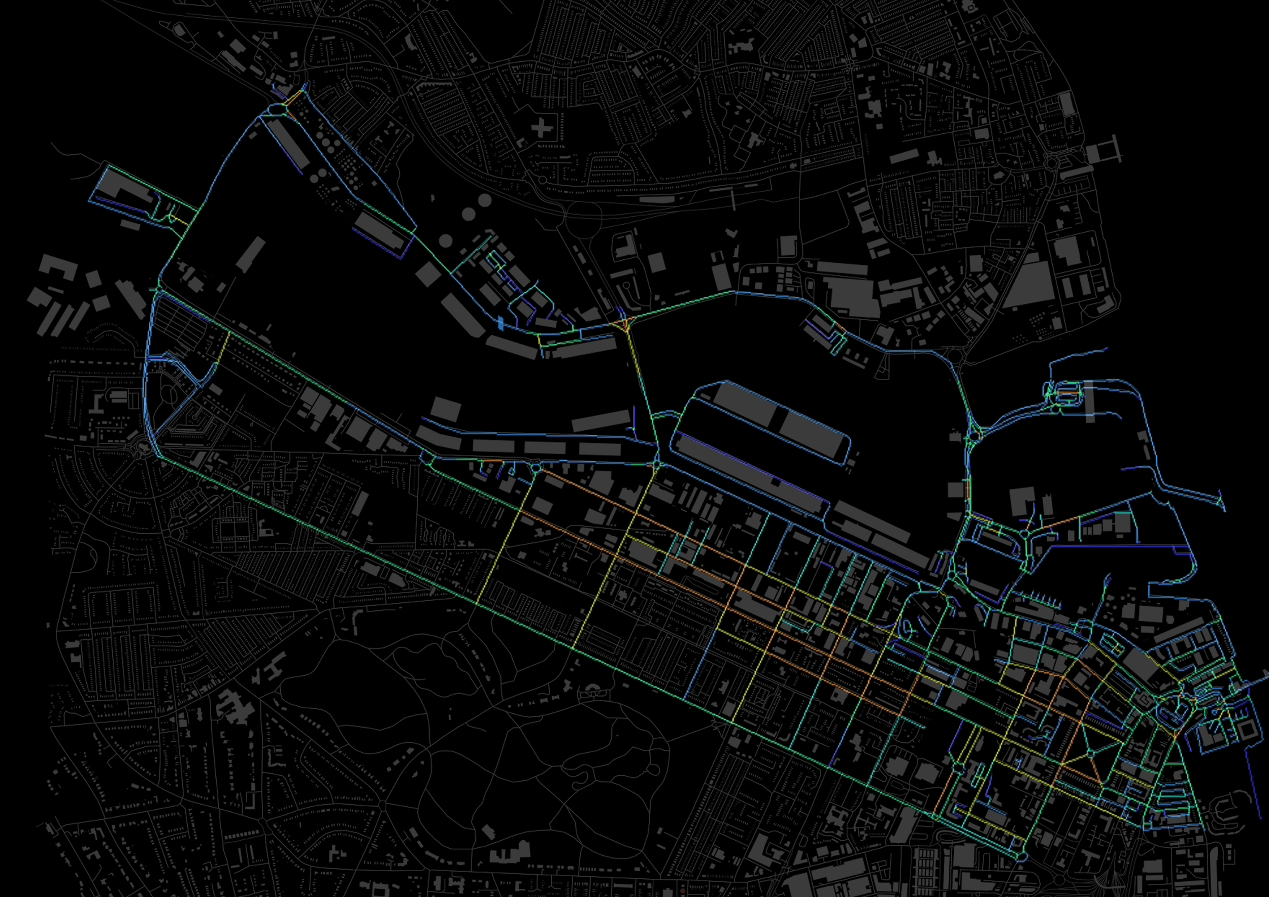
Wirral Waters project, urban data mining was employed to gain deep insights into the area's dynamics, using a range of innovative techniques. By collecting and analyzing GPS traces and urban data, we created detailed data maps that revealed patterns of movement, land use, and social interactions across the site. These maps served as a foundation for urban analysis, helping us understand key aspects such as traffic flow, public space utilization, and connectivity within the urban fabric. This data-driven approach allowed us to design more informed, responsive urban interventions that align with the needs of the community, ensuring a more sustainable and efficient urban environment.


